【Android】高德地图根据2个坐标智能缩放地图
2017-11-09 09:41
381 查看
需求:
在地图上给定2个坐标点,然后将2个坐标点通过缩放都能显示出来。实现:
通过查阅高德地图接入文档和API能找到缩放的API高德地图文档,看到以下说明
限制地图的显示范围
从地图 SDK V4.1.0 起新增了设置地图显示范围的方法,手机屏幕仅显示设定的地图范围,例如:希望设置仅显示北京市区地图,可使用此功能。注意:如果限制了地图显示范围,地图旋转手势将会失效。
调用示例如下:
Java
LatLng southwestLatLng = new LatLng(33.789925, 104.838326);
LatLng northeastLatLng = new LatLng(38.740688, 114.647472);
LatLngBounds latLngBounds = new LatLngBounds(southwestLatLng, northeastLatLng);
aMap.setMapStatusLimits(latLngBounds);
注意,我们并不需要限制地图的缩放功能,所以最终仅仅调用地图的缩放功能即可
给定左下的坐标和右上的坐标来确定一个显示范围,那么实际开发中我们拿到的坐标还需要进行比较后在创建该对象
对比坐标,使用坐标A和坐标B中的经纬度,谁的大谁就在右上角,谁小谁就在左下角,为此封装了一个方法:
/**
* 根据2个坐标返回一个矩形Bounds
* 以此来智能缩放地图显示
*/
public static LatLngBounds createBounds(Double latA,Double lngA,Double latB,Double lngB){
LatLng northeastLatLng;
LatLng southwestLatLng;

Double topLat,topLng;
Double bottomLat,bottomLng;
if(latA>=latB){
topLat=latA;
bottomLat=latB;
}else{
topLat=latB;
bottomLat=latA;
}
if(lngA>=lngB){
topLng=lngA;
bottomLng=lngB;
}else{
topLng=lngB;
bottomLng=lngA;
}
northeastLatLng=new LatLng(topLat,topLng);
southwestLatLng=new LatLng(bottomLat,bottomLng);
return new LatLngBounds(southwestLatLng, northeastLatLng);
}
最后调用cameraAPI即可,这里使用的动画的方式,10代表的是padding内边距
mAMap.animateCamera(CameraUpdateFactory.newLatLngBounds(latLngBounds, 10),1000L,null);
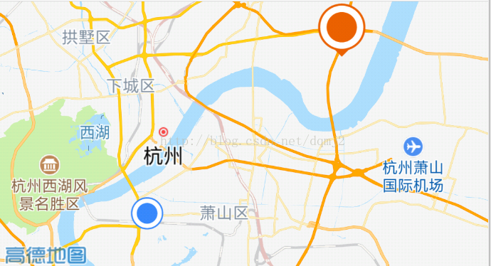
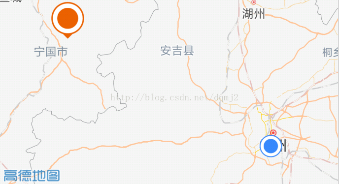
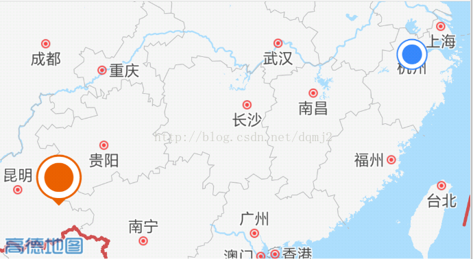
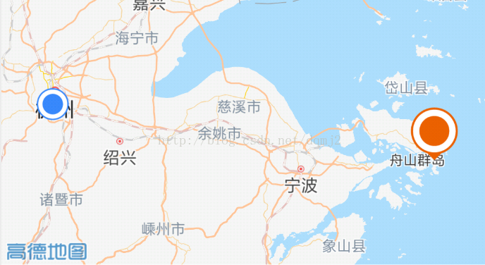
4方位种效果

相关文章推荐
- 【Android】高德地图根据2个坐标智能缩放地图
- 根据多个坐标点计算缩放地图的级别
- 根据地图经纬度坐标区域,计算区域中心点(以高德地图 API 为例)
- Android 高德地图 自己位置的显示与点地图上任意一点的坐标
- Android 高德地图2.80新版地图开发详解(本地定位/地图显示/Mark标记/camera移动和缩放)
- 百度地图API二:根据标注点坐标范围计算显示缩放级别zoom自适应显示地图
- 安卓智能地图开发与实施九:地图缩放与旋转 - ArcGIS Runtime SDK for Android(Version 100.0.0)
- Android基于mAppWidget实现手绘地图(七)–根据坐标添加地图对象
- Android 外部调起高德地图显示坐标点 自定义 标注高德地图 by Terry
- 根据坐标点显示地图显示范围(高德地图)
- 百度地图 根据标注点坐标范围计算显示缩放级别zoom自适应显示地图
- 百度地图API二:根据标注点坐标范围计算显示缩放级别zoom自适应显示地图
- Android 界面中实现高德地图 要求根据已知的经纬度 显示地图上的点!!!!
- 高德地图获取经纬度、高德地图坐标转为百度地图坐标
- (10.14更新)关于高德地图安卓SDK的一些使用细节坑(包括Marker与缩放地图)
- 安卓智能地图开发与实施二十:栅格图层展示 - ArcGIS Runtime SDK for Android(Version 100.1.0)
- android 获取地图中心点的经纬度坐标
- Android根据屏幕宽度,按比例缩放图片(图片)
- 安卓智能地图开发与实施十三:空间查询与展示 - ArcGIS Runtime SDK for Android(Version 100.0.0)
- Android使用Google Map服务 - 根据GPS信息在地图上定位